

Türkiye İlçe Verisi
Türkiye İlçe Data Grubu Seti, ilçe sınırları harita datası ve sağlık istatistikleri, ulaşım istatistikleri, inşaat istatistikleri, tüm yerleşimler ve nüfusları, hayvan sayısı, konut sayısı, eczane sayısı ve tarım alanı gibi aşağıda listesi verilen tablolardan oluşmaktadır.
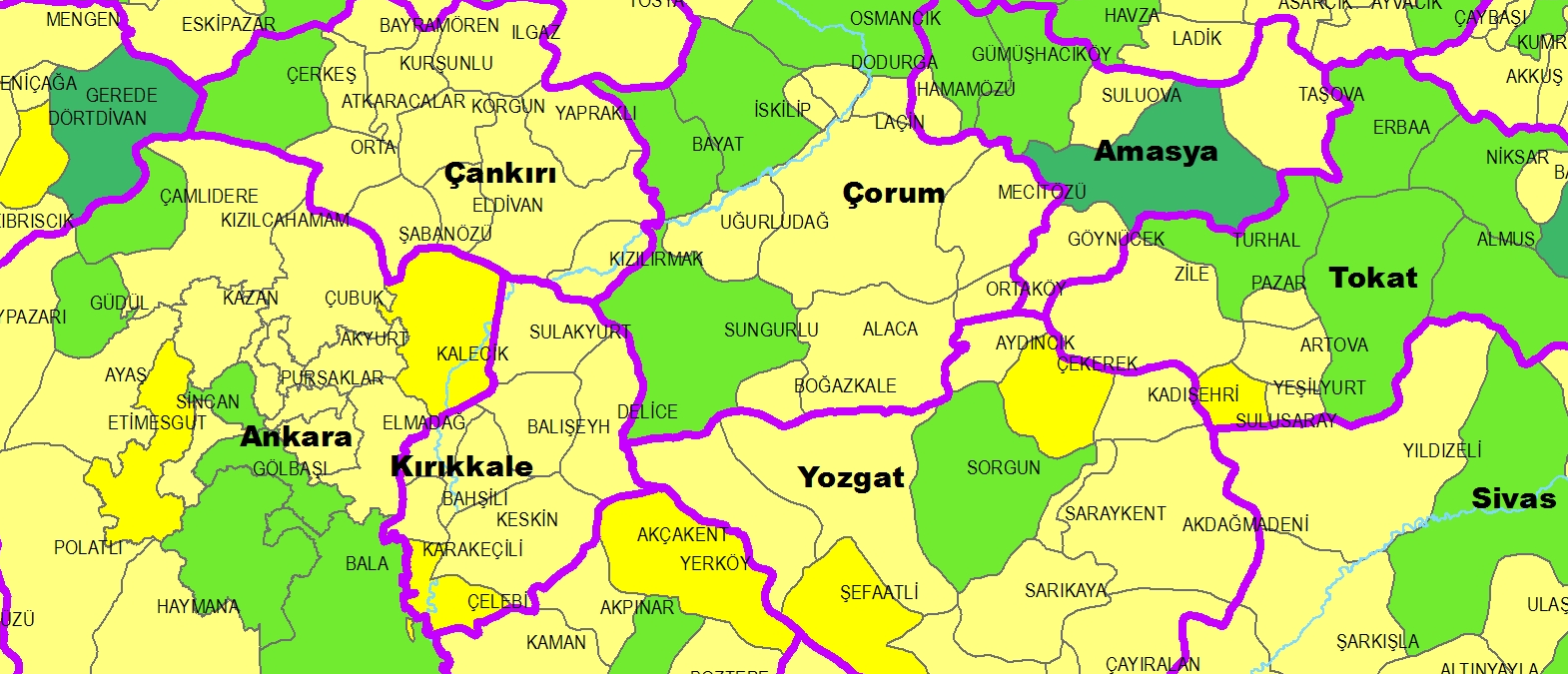
Türkiye İlçe Verisini iki farklı içerikle sunuyoruz. 1.Türkiye ilçe sınırlarını polygon olarak gösteren, wgs84 koordinat sistemindeki spatial veridir. Veri setini,Esri ShapeFiles, SQL, Mdb, Gdb formatlarında satın alabilirsiniz. 2.Tablosal veriler: ilçe ve il bazlı haritalama ve coğrafi analize uygun bir şekilde derlenmiştir. Her bir veri kaynağı ve üretim yılı belli olan güncellemesi yapılabilir data grubundan oluşur. Her bir birimin uavt kodu atanarak tüm tablolalar birbirleriyle karşılaştırılabilir ve haritalanabilir. Satın alınan verilerin teslimi maksimum 1.5 iş gününde gerçekleşmektedir.
Temel İlçe Verisi ESRI ShapeFile
Dosyamızın ShapeFile Tablo Yapısı
Shape: Geometri alanı
İl Kodu: UAVT (Ulusal Adres Veri Tabanı) İl kodu
İl Adı: İl adı
ilçe Kodu: UAVT (Ulusal Adres Veri Tabanı) İlçe kodu
ilçe Adı: İlçe adıData Grubunun İçindeki Tablolar
Örnek İlçe Verisi dosyasını indirmek için tıklayınız.